
A walk around Red Island
Walk from South Strand around the head to the harbour and North Strand. The way back takes you past the library and shops on Strand Street.
3–4 hours including stops · About 2.8 km on foot
The itinerary
Start and finish at South Strand promenade.
-
South Strand promenade
Walk north on the promenade with the sea on your right. Follow it to the narrow strip of land that joins Red Island to the town.
-
Around the head
Stay on the outer path for views across the rocks to the offshore islands. Follow it around the headland towards the harbour.
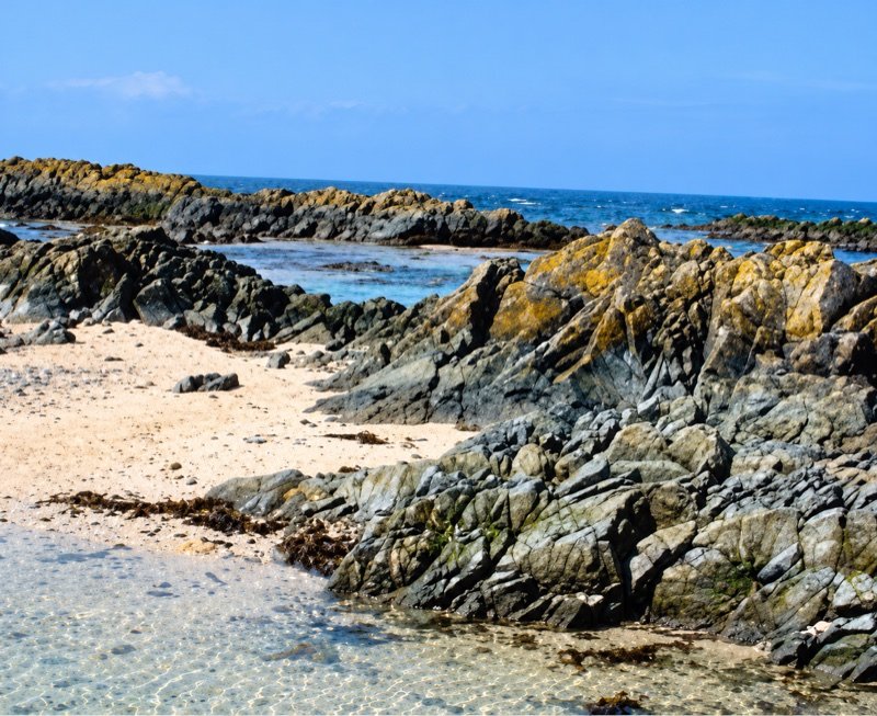
The shore at Red Island -
The harbour
Storm in a Teacup is by the pier. For coffee or lunch, turn onto Harbour Road. Continue along the waterfront to Quay Street.
-
North Strand
Follow Quay Street to North Strand. You can walk further along the beach and return the same way, or turn inland here for the town centre.
North Beach visitor information -
Back by Strand Street
Walk past Skerries Library on Strand Street. Take Manning’s Opening back to South Strand. Fingal’s art trail map marks the panels you can look for along the way.
Fingal’s art trail map (PDF)
Good to know
In windy weather
The outer path is exposed. In rough conditions, take the streets between the two strands and leave the headland for another day.
Skerries weather forecastComing by train
The distance shown starts and ends on South Strand. Allow extra time to walk across town from the station and back.
Train times for Skerries